|
|
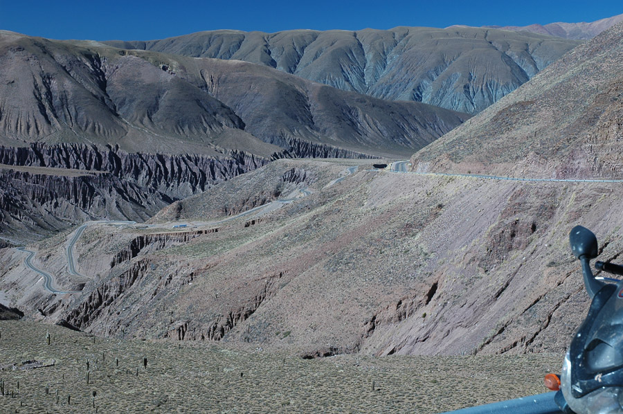
About 15 miles west of Purmamarca the road really starts to get steep and curvy. |
|
|
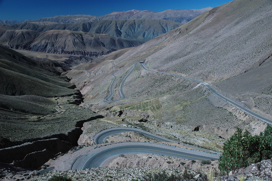
A better shot of the steep and curvy. |
|
|
Again. |
|
|
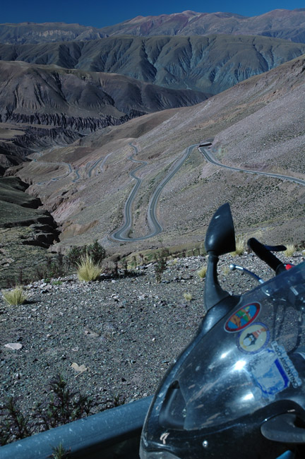
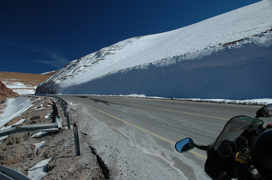
The first of several times that I thought the road reached a peak; 13,772 feet here. |
|
|
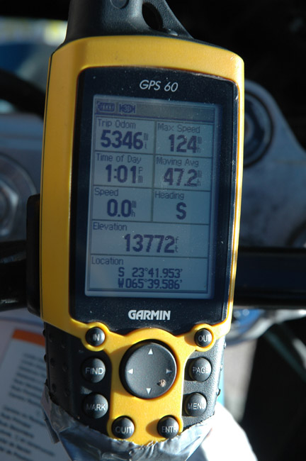
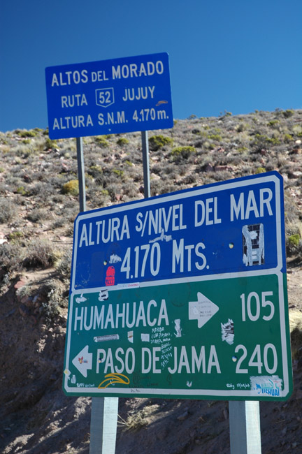
GPS reading was from this spot. They frequently mark high spots on the road with signs like this so I thought it was all downhill from there... |
|
|
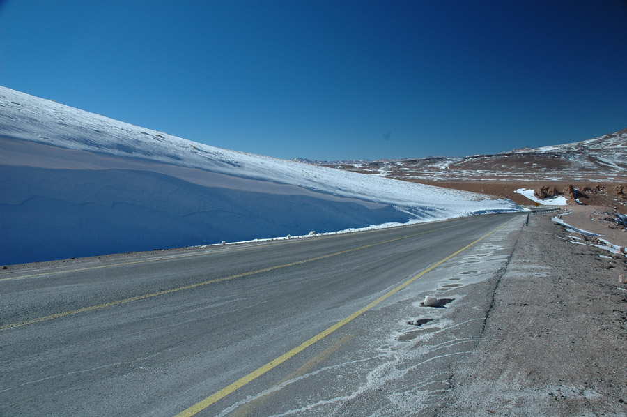
Ceiling of the world? This "high point" was about 3 miles beyond the last curvy road picture. |
|
|
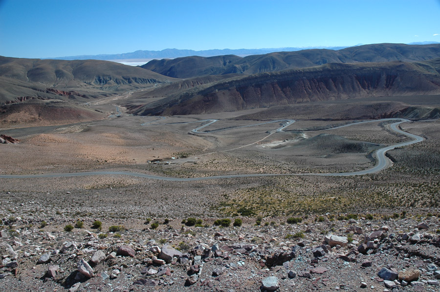
Another mile or so down the road it really does go downhill, you can see one of the salt flats in the background. |
|
|
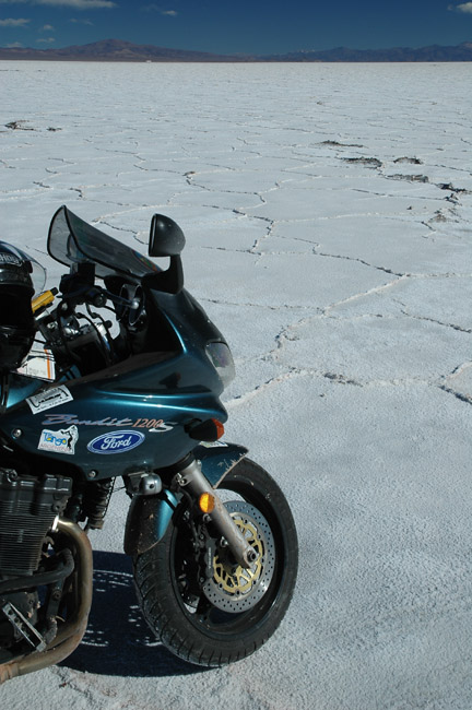
Salinas Grandes, from the previous picture, up close and salty. |
|
|
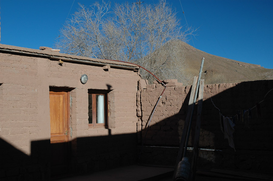
My cold room at Susques, last stop before crossing into Chile. |
|
|
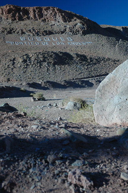
Town signature. |
|
|
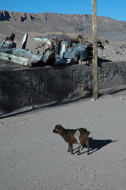
Goat and garbage. |
|
|
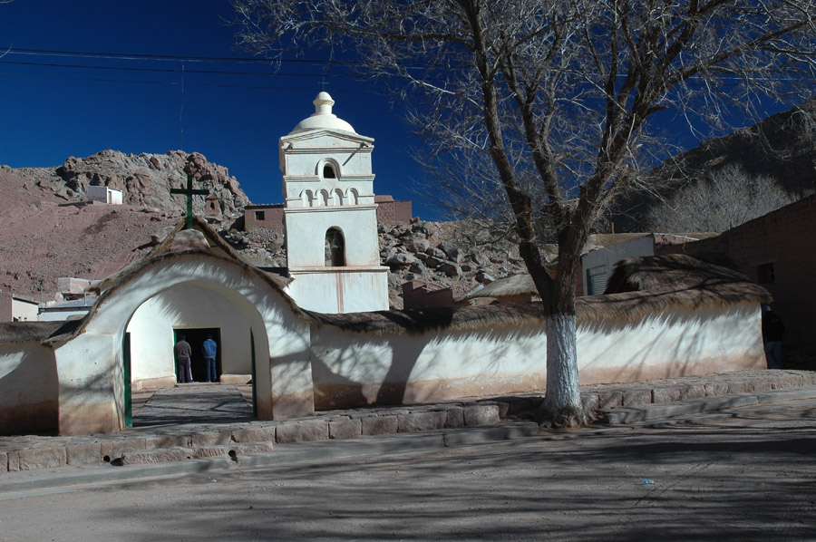
Cool looking church across the street from my hotel. |
|
|
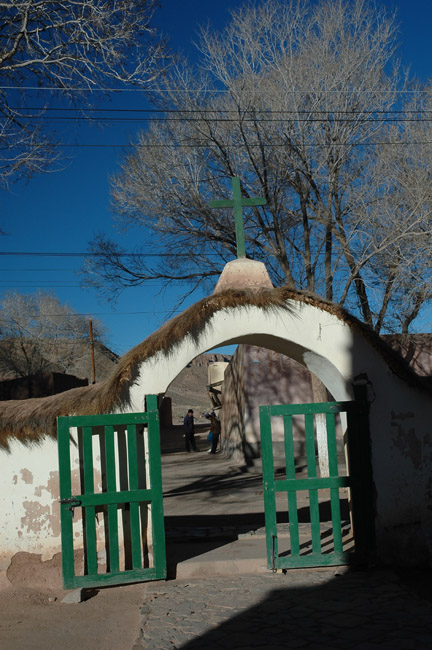
Church gate. |
|
|
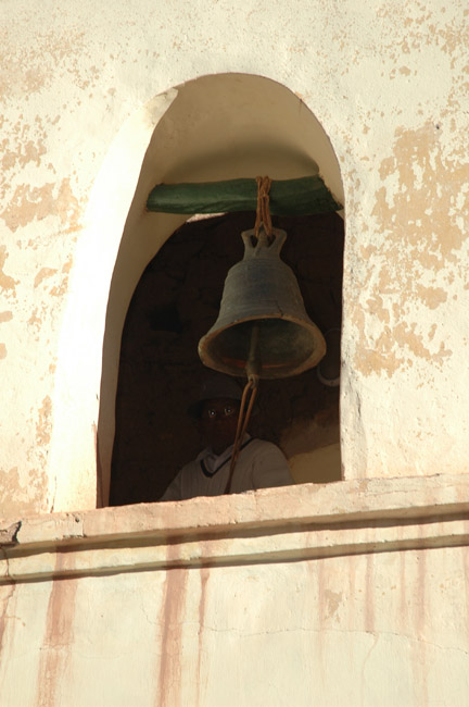
This old guy was randomly ringing the church bells like he was part of a large orchestra, but only he could hear the rest of the music. |

|
|
Back of the church. |
|
|
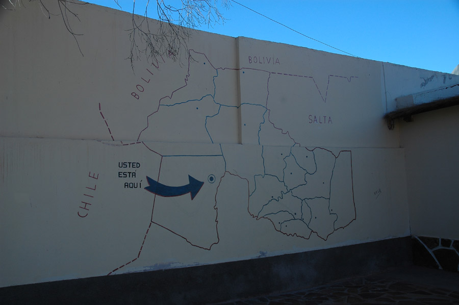
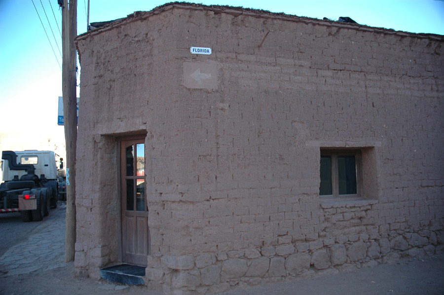
In case you're lost, this is on the side of the police station. |
|
|
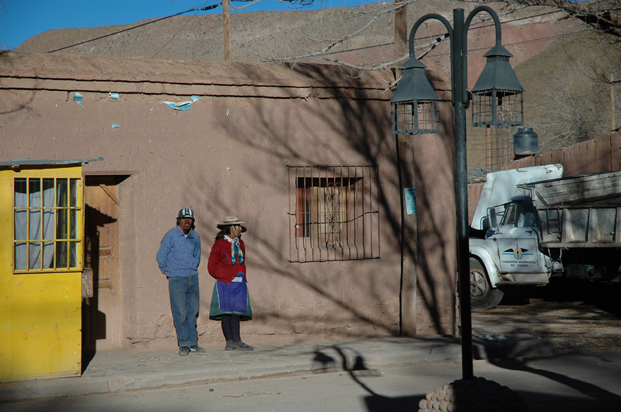
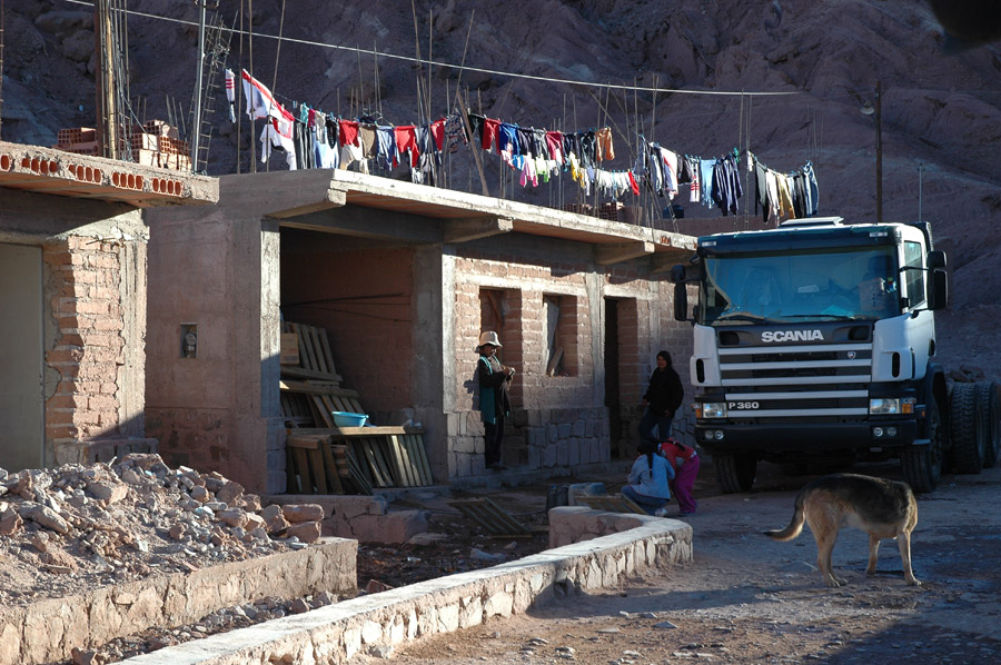
This was typical; it seems like many people in this town were just standing by the side of the road waiting for someone. |
|
|
Busy home. |
|
|
A better look what most of these buildings are made of - they usually use actual stones for the foundation, and mud brick for the rest of the wall. |

|
|
Just like most of these high-land towns their cemeteries are prominently displayed, this one near the middle of town. |
|
|
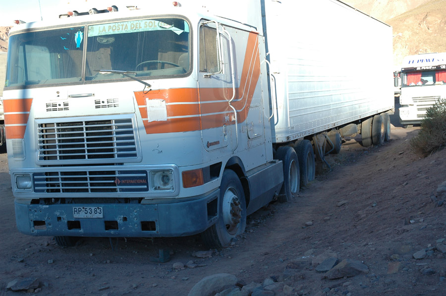
It's hard to tell how long this truck has been here. |
|
|
Last picture in Argentina. I took it with a sense of relief, knowing that the road wouldn't actually take me through those snowy hills, right?!?!?! |
|
|
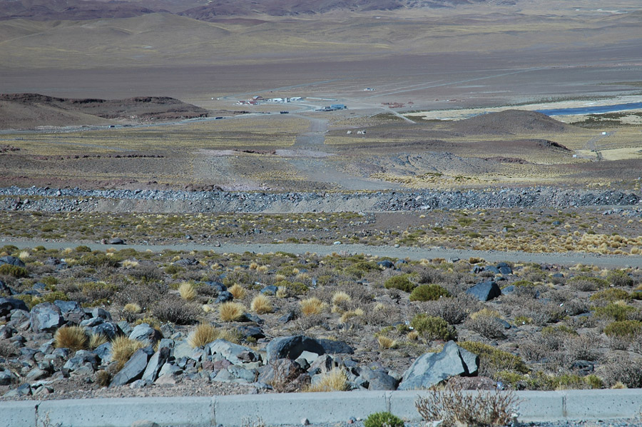
Right after leaving Argentina. Those buildings way below are Paseo de Jama, entering Chile is another 70 miles down (and up) the road. |
|
|
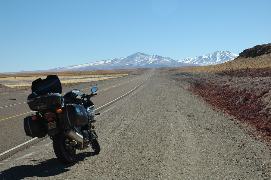
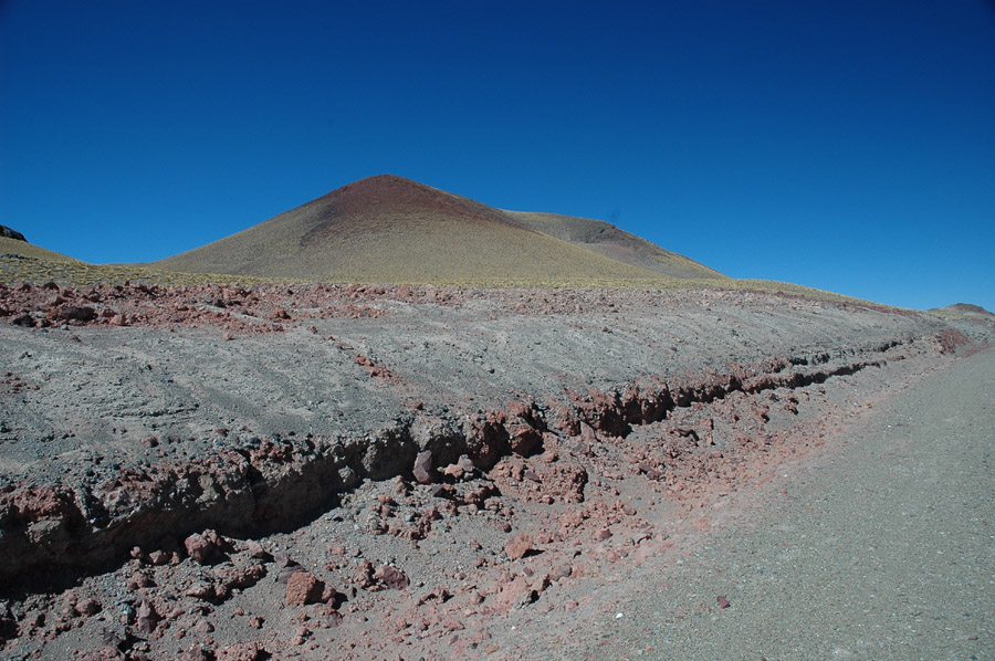
A boring picture of what I thought the rest of the Andes crossing would be like. |
|
|
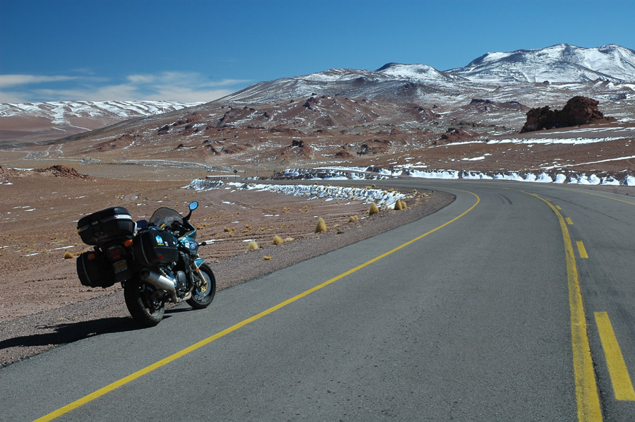
I had to get a picture of this snow because I thought it would be the only snow on my big Andes crossing. |
|
|
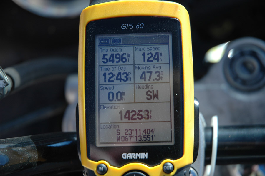
Altitude of first snow. It won't get much higher than this, right?!?! |
|
|
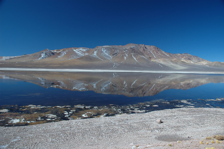
This would have been a better picture if I would have walked to the edge of the salty lake but my weak ankle and the altitude told me this was fine. |
|
|
Same spot as previous picture, looking into the sun. |
|
|
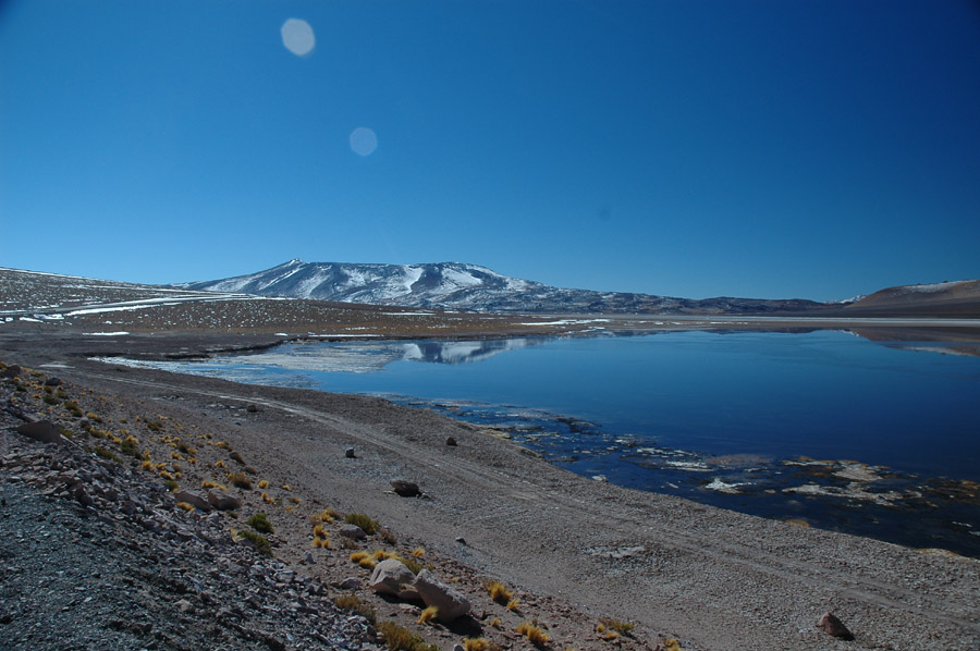
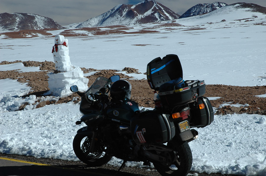
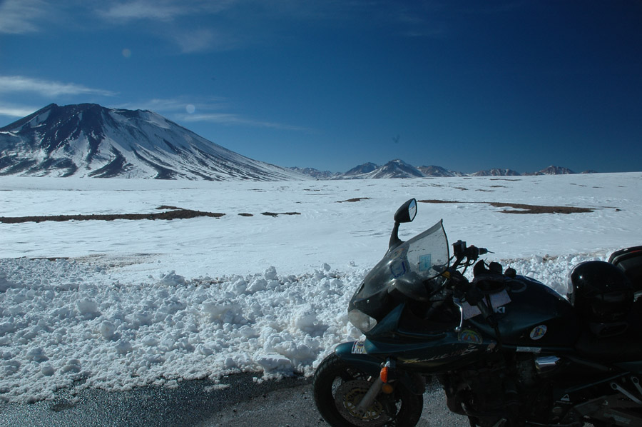
Now I'm part of the snowy pass scenery I hoped to avoid. |
|
|
It just kept getting colder and colder and colder... |
|
|
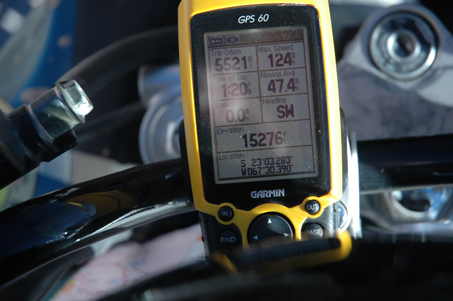
Altitude at the two previous pictures. |
|
|
Whoever made this had to have been driving a car or truck, where they could warm up. |
|
|
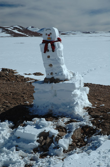
Snowman closeup. |
|
|
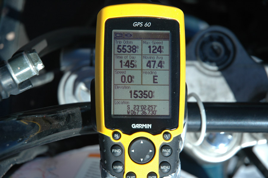
Snowman altitude. Shortly after the snowman the pass reached a height of over 15,800 feet but I couldn't stop for a picture at that spot. |
|
|
This is shortly before the descent, from 15,300 feet down to exactly 8,000 feet above sea level in about 25 miles. |
|
|
At the bottom looking back at the coldest and highest part of this trip. I was really glad that the road was great and it was only about 170 mile day. |
|
|
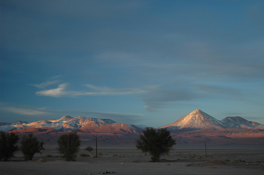
Another shot from San Pedro de Atacama, looking back at the cold, after a hot shower and soup. |