|
|
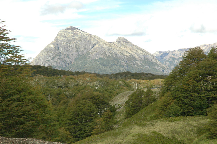
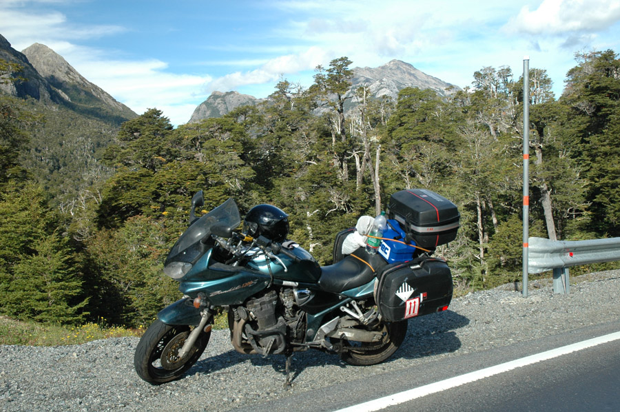
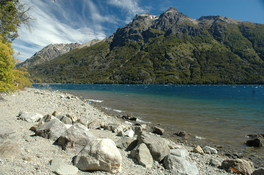
Just the beginning of great scenery. |
|
|
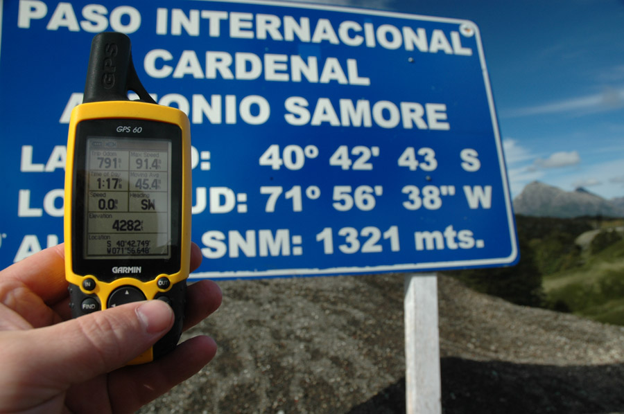
Middle of park. If you look close you can see that the "seconds" reading on my GPS differs from the sign, I wonder who's right?? |
|
|
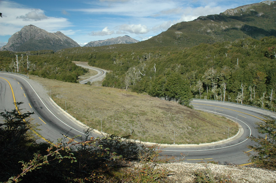
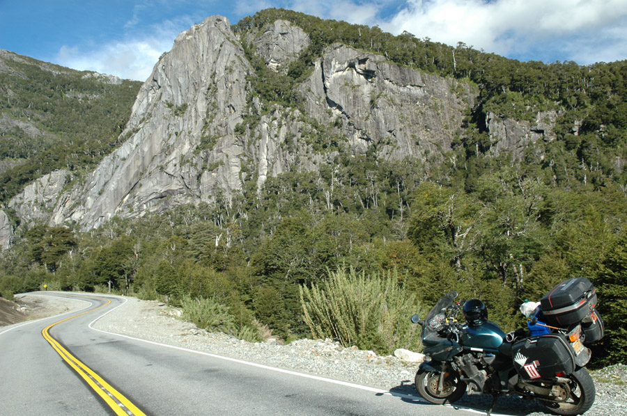
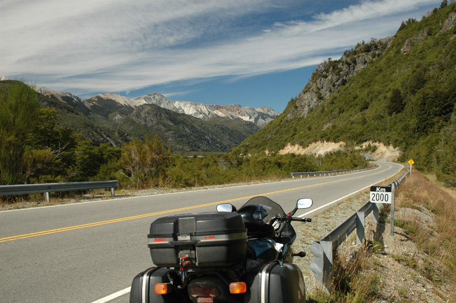
What an amazing road to ride! |
|
|
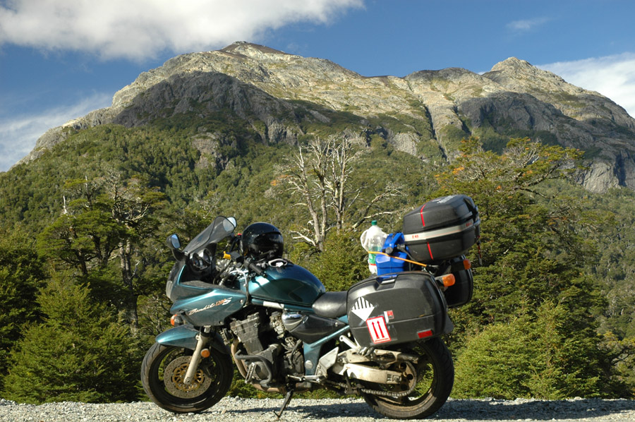
I included the bike in many pictures. |
|
|
Maybe Suzuki will by them for advertisements? I doubt it. |
|
|
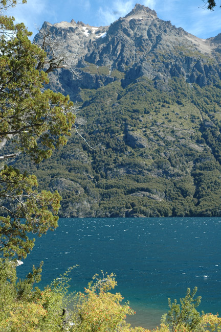
Most of the better scenery is on the Argentinean side of the park. |

|
|
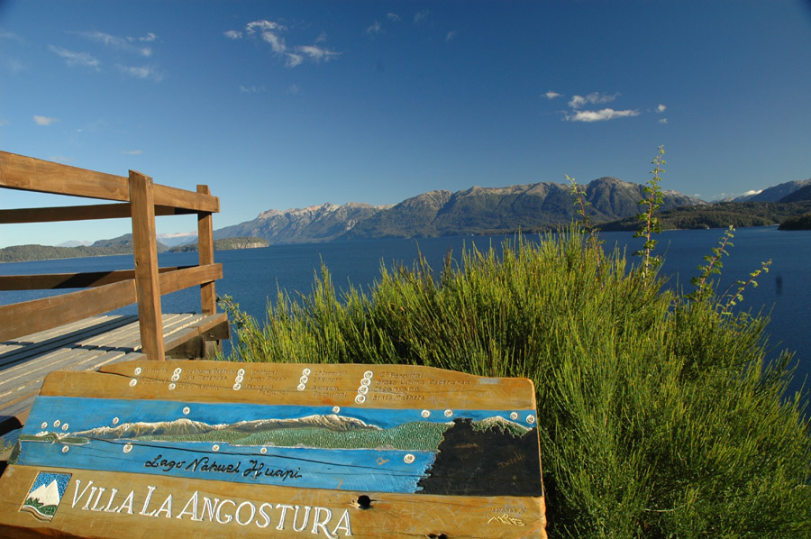
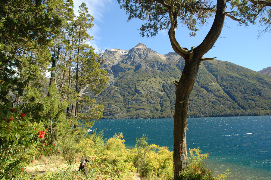
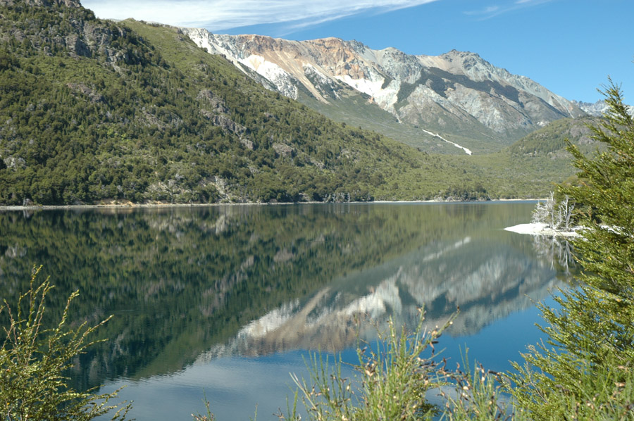
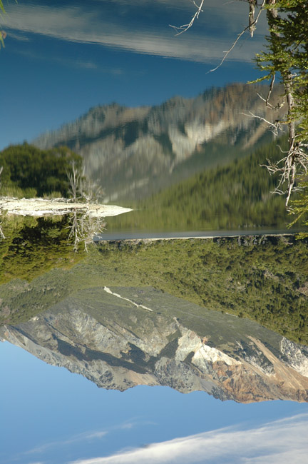
Mirror Lake |
|
|
The town of Villa La Angostura is another 1-2 miles down the road. It's a very comfortable, cozy little ski resort town. |
|
|
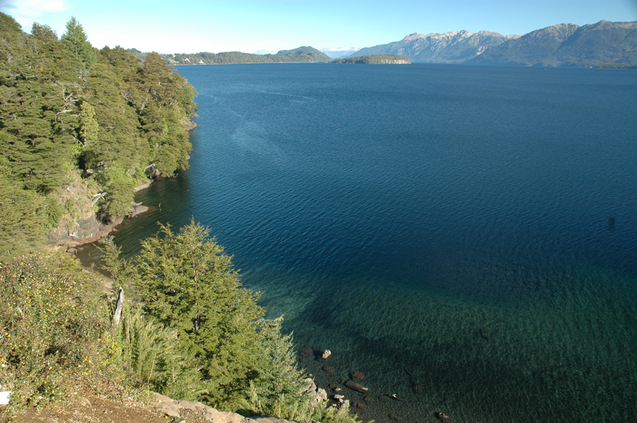
Same lake from previous picture. |

|
|
The hotels were very reasonable because in late March it's too cold for summer water sports and too early for skiing. |

|
|
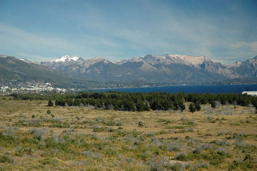
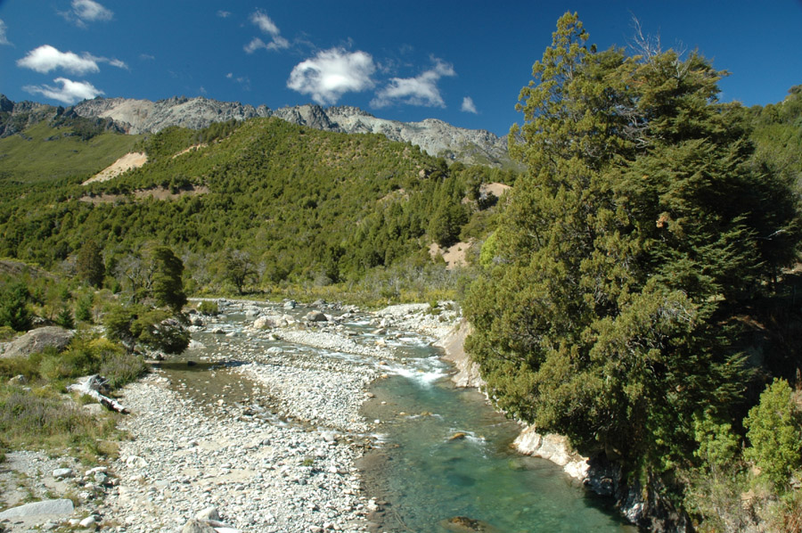
Next day, heading south from Angostura toward Bariloche, a short and scenic trip. |
|
|
Yeah, scenic. |
|
|
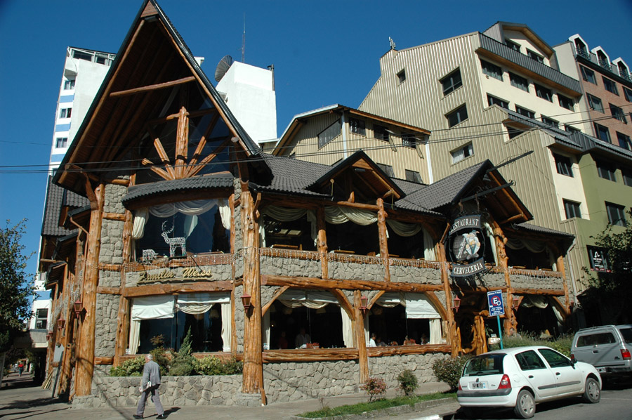
San Carlos de Bariloche, there's lots of rustic woodsy type of buildings in this great little city. |
|
|
"Kids, time for lunch!!" |
|
|
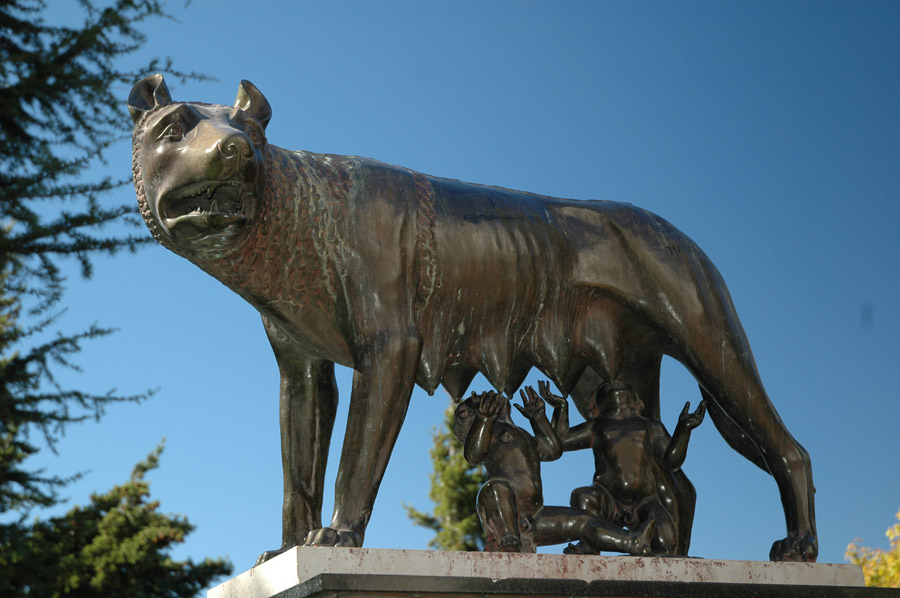
One of the focal points in town. |
|
|
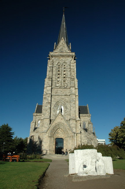
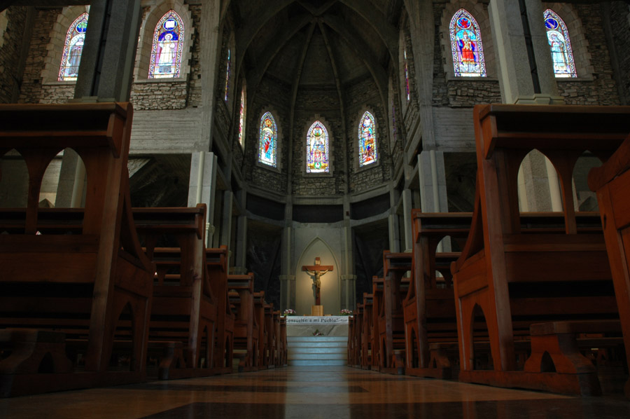
Mouses veiw inside the cathedral. |
|
|
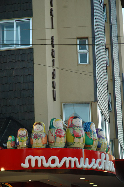
"Mamuschka" it's just such a fun word to say out loud, try it! I don't know what it is but I think I'll name all my kids Mamuschka. |
|
|
Leaving Bariloche, it's on the left. |
|
|
The next shots are between Bariloche and Esquel. |
|
|
Still in Nahuel Huapi National park, which continues for another 30 or so miles after Bariloche. |
|
|
Cool. |
|
|
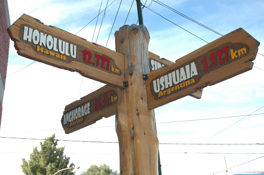
2000 km marker to Ushuaia? It was worth a picture. |
|
|
Dig it. |
|
|
What? wait, woah, ehhhh, yeah, okay I get it. |
|
|
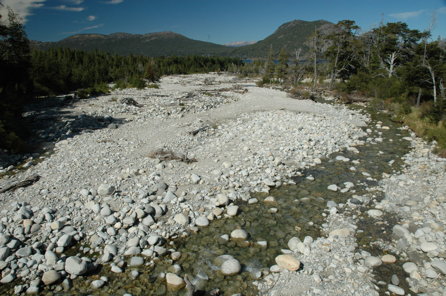
On a bridge near the south end of the park. |
|
|
A sign in Esquel. The more remote you get the more of these types of signs you see. |
|
|
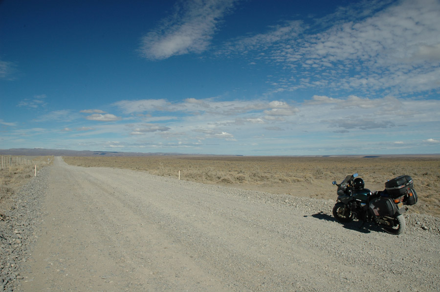
This is pretty much what it looks like between Esquel and Comodoro Rivadavia, the planes of Patagonia, except the road is paved most of the way. |
|
|
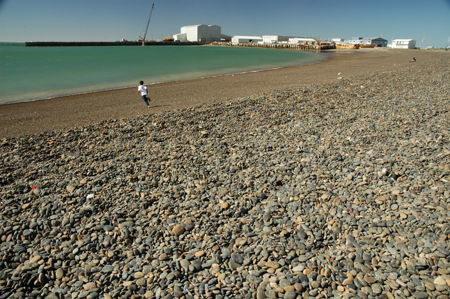
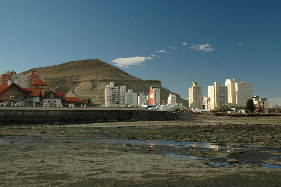
Beach at Comodoro Rivadavia. |
|
|
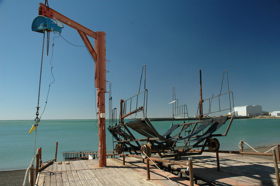
It's a thing that goes down to the water to get stuff, probably from boats. Stick with me I know all the details. |
|
|
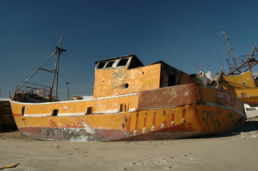
This is a smaller, fiberglass version of the boats I was on, crabbing in Alaska, through college as a summer job. |
|
|
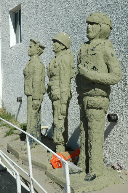
Maybe the three different branches of military? Not sure. |
|
|
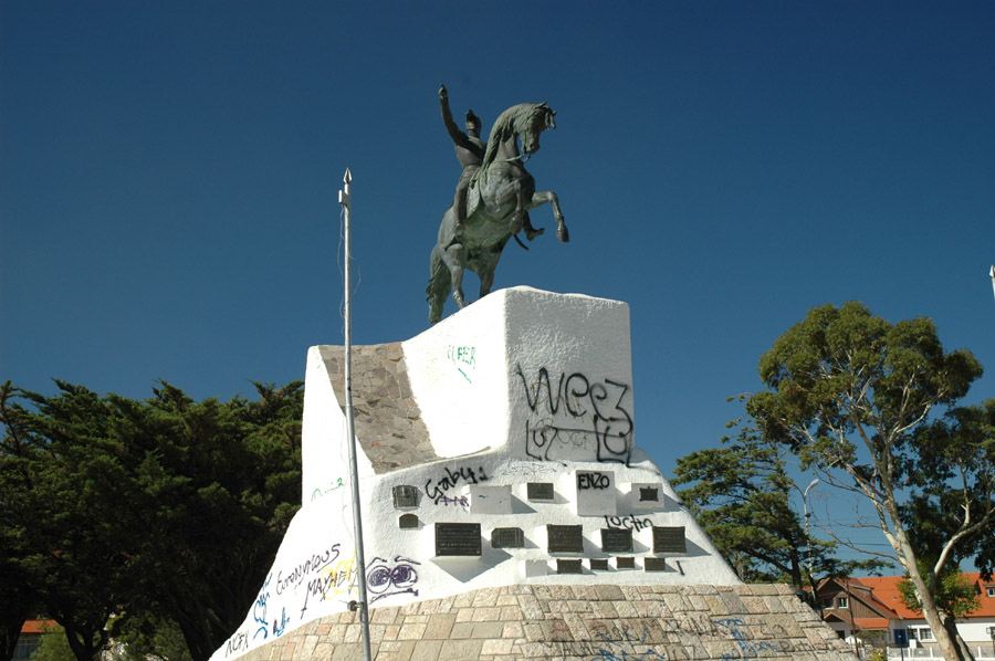
You can tell it's a crappy town when their "man on a horse" monument is covered in graffiti. |
|
|
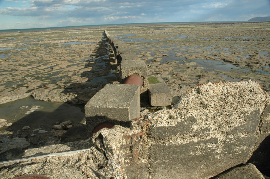
Sewage line at C. Rivadavia's other beach. |
|
|
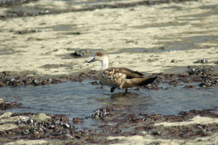
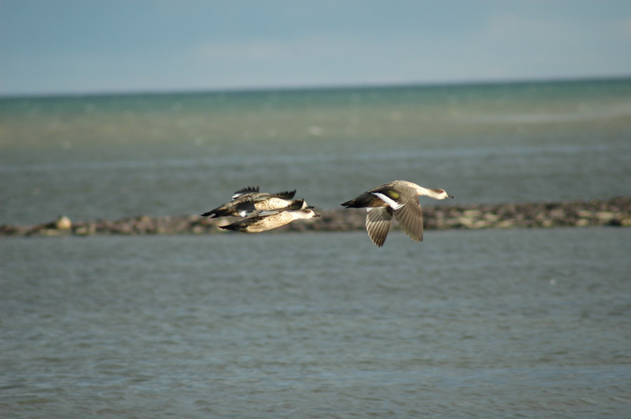
Duck. |
|
|
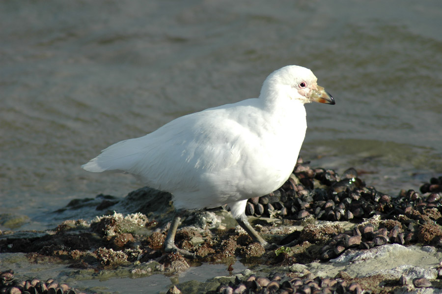
I don't know what kind of bird this was but it had a very unique look. |
|
|
The ducks were hard to get close to and always flew away. |
|
|
Comodoro Rivadavia from the sewage line at low tide. |